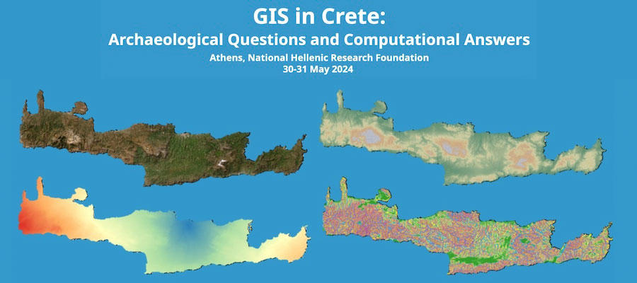
GIS in Crete: Archaeological Questions and Computational Answers, National Hellenic Research Foundation, Athens, May 30–31, 2024
Nestled in the eastern Mediterranean Sea, Crete, the largest of the Greek islands, spanning approximately 8,300 km², offers an extensive canvas for archaeological surveys and excavations.
Along with identifying and documenting archaeological sites, the archaeological surveys conducted on Crete have contributed to our understanding of ancient and modern settlement patterns, of land use patterns, agricultural practices, and resource exploitation.
In addition to traditional surveys and excavations, Geographic Information System (GIS) studies have played a significant role in enhancing our understanding of Crete’s archaeological sites and their spatial context. GIS has provided a powerful tool for analysing, visualizing, and interpreting data related to the island’s cultural heritage.
The Institute of Historical Research of the National Hellenic Research Foundation and the Department of Archaeology at Ghent University are pleased to announce a conference entitled "GIS in Crete: Archaeological Questions and Computational Answers", dedicated to exploring the interest of GIS and geospatial analyses to answer archaeological and historical questions in Crete. This conference aims to bring together researchers working in the field of GIS and the archaeology of Crete, in order for them to share their knowledge, experience, and insights. We invite submissions for both theoretical papers and case-studies that highlight the contribution of GIS in addressing archaeological questions across all periods of human history on Crete.
Themes to be addressed include – but are not limited to:
- Examining the epistemological and methodological implications of integrating GIS into archaeological research.
- Exploring the theoretical foundations of GIS and its applicability in the archaeology of Crete.
- Evaluating the advantages, challenges, and limitations of GIS in archaeological studies.
- Presenting specific archaeological projects that have employed GIS as a fundamental tool in the archaeology of Crete and highlighting the motivations and rationale behind the application of GIS in these projects.
Organizers
Vyron Antoniadis, Senior Researcher, Institute of Historical Research, National Hellenic Research Foundation
Quentin Drillat, PhD candidate, Department of Archaeology, Ghent University